Tools
Assets to help you get started
LiDAR Workshop
In partnership with the Red River Basin Commission, we created a manual on how to use LiDAR, along with a video series showing use cases of LiDAR and how to take advantage of it to de-risk and make your community more climate-smart.

PhosFinder Tool
PhosFinder is a software package developed by SSE, in collaboration with our partners, that utilizes GIS information to produce hydrologic metrics from elevation data. These metrics include nutrient loading estimates, accumulated runoff, and subwatershed definition.
Phosfinder can be downloaded for free use here:

CulvertFinder Tool
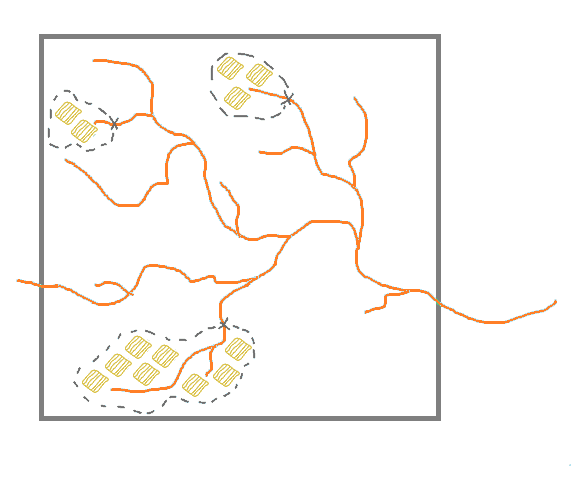
CulvertFinder is a unique geospatial tool that estimates the most likely real-world locations for culverts, through road network data and digital elevation model data.

IDFCC App – Institute for Catastropic Loss Reduction
The Intensity-Duration-Frequency Curves under Climate Change app (IDFCC) is a publically available web-based app to update and adapt local extreme rainfall statistics to climate change.

